
In its latest provocation to India, on the eve of the anniversary of the abrogation of Article 370, Islamabad unveiled a new political map that depicts the entirety of Kashmir and portions of Gujarat as its own territories. In its statement, India’s Ministry of External Affairs said that the release of the “so-called political map” is an “exercise in political absurdity” as it lays claims to the Union Territories of J&K and Ladakh as well as the State of Gujarat, which has no international credibility or legal validity.
The new map, which was reportedly approved by Pakistani Prime Minister Imran Khan’s federal cabinet on Tuesday, depicts the Pakistani frontier clearly marked with all of Kashmir as its territory. However, the border between Kashmir/Ladakh and China has been marked as ‘Frontier Undecided’. Further, the map shows the Pakistani Line of Control (LoC, marked by a dotted red line, as extending to the Karakoram Pass, including Siachen as Pakistani territory as well. The status of J&K has been decided as ‘Disputed Territory - Final Status will be decided in line with the relevant UNSC resolutions’.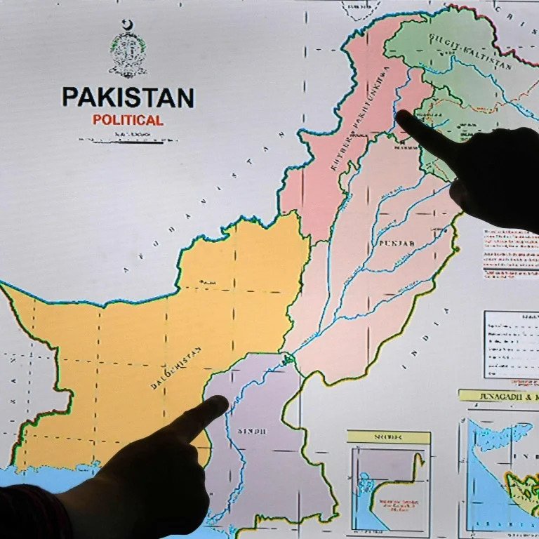
Another change in the map included international border lines along the eastern bank of the disputed Sir Creek, which was previously marked as being along the Western bank. The Sir Creek dispute dates back to 1908, when an argument between the Rao Maharaja of Kutch and the then-Government of Sindh apparently broke out over a pile of firewood that was lying on the banks of the creek. In later conversations and settlements, the Thalweg Principle was applied to the Creek, which states that in the case of a boundary that divides two states by a flowing water body, the territorial line is drawn along the thalweg, which is the point of the greatest depth in the channel. However, both India and Pakistan have been unable to reach a consensus on this boundary. In 1968, the case went to the International Court of Justice (ICJ), where the Indo-Pakistani Western Boundary Case Tribunal ruled in favour of India’s 90% claim to the Rann, recognizing only small parts as Pakistani. In recent times, the creek has seen heightened interests from both sides due to deep-sea mining prospects for natural oil and gas, thereby escalating the conflict from just a maritime dispute to one of territory and resources.
Another controversial amendment to the map has been the inclusion of Gujarat’s Junagadh as Pakistani territory. In War and Peace in Modern India, Srinath Raghavan chronicles how, in 1947, the constitutional adviser of Junagadh, a princely state with a Hindu majority and a Muslim leader, told Lord Mountbatten that he had all intentions of joining India. However, earlier that year, the Dewan of Junagadh had invited the Muslim League’s Shah Nawaz Bhutto to join the State Council. Bhutto assumed his role after the Dewan traveled overseas for treatment, which marked the beginning of forged ties between Junagadh and Pakistani leaders. Reportedly, Indian leaders found out about this via newspaper, and considering the “complex political geography of Kathiawar” and its strategic role in maintaining security in Hyderabad, the Indian government wrote to Pakistani leaders about “finding out the views of the people on the question of accession”, who were primarily Hindu.
Junagarh was landlocked by India, with an opening to the Arabian Sea. The unsettled political conditions in the state led to a brief cessation of trade ties in India, leading to a food security crisis. The Nawab then fled to Karachi where he established a provisional government. Sardar Vallabhbhai Patel offered Pakistani leaders some time to reverse their accession of Junagadh and to hold a plebiscite vote in the state. After they refused, Patel eventually ordered what has been recorded as a forced annexation of Junagadh’s three main principalities. In December, a plebiscite was conducted with almost the entire population choosing to stay with India.
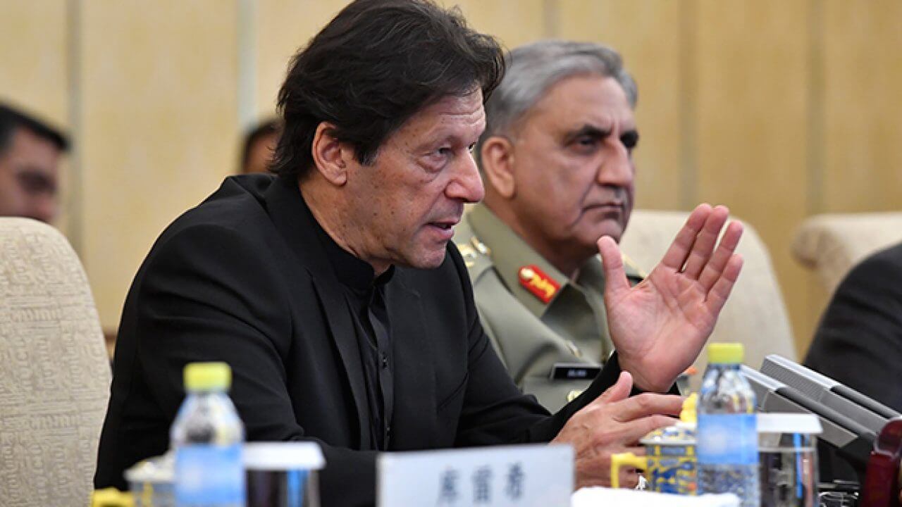
The sensitive historical significance of the Sir Creek and Junagadh disputes have led Pakistani Foreign Minister SM Qureshi to describe the new map as the first time that it “reflected the aspirations of the people”. Qureshi further stated, “Our destination is Srinagar”.
Pakistan Unveils New Map, India Calls it “Political Absurdity”
The new map depicts all of Kashmir, Sir Creek, and Junagadh as Pakistani territory
August 5, 2020
SOURCE: ORF