On Monday, Nepal’s cabinet approved the new controversial map of the country, which shows the Indian territories of Lipulekh, Kalapani, and Limpiyadhura as its own.
While addressing the joint session of the Parliament last week, Nepal’s President, Bidhya Devi Bhandari, said, “Limpiyadhura, Lipulekh, and Kalapani region are Nepal’s territory, and concrete diplomatic efforts will be taken towards reclaiming these territories. An official map of Nepal will be published accordingly, incorporating all the territories of Nepal.”
Accordingly, in the cabinet meeting yesterday, the Nepalese minister for land management, Padma Aryal, tabled the updated political map. The cabinet endorsed the map and also decided it would release the updated political map of Nepal publicly. Government spokesperson Yuvaraj Khatiwada said that the new political map will be used by every government body and in all textbooks.
The endorsement of the new political map follows India’s inauguration of a road link via Lipulekh, a territory that Nepal has long claimed as its own. Kathmandu raised the chorus over the issue earlier this month when India’s defence minister Rajnath Singh inaugurated a new road from Dharchula to Lipulekh that will reduce the time taken for Kailash Mansarovar pilgrimage. The road also means that 84% of the pilgrimage journey will now be undertaken in Indian territory and 16% in China. Earlier, 80% of the journey took place in foreign land.
In response to Rajnath’s inauguration of the road, on May 11, Nepal handed a diplomatic note to Indian Ambassador Vinay Kumar Kwatra. Subsequently, India replied that it is willing to hold talks once the Covid-19 pandemic is over but refused to acknowledge the diplomatic note. A few days later, the Indian Army chief General M.M. Naravane accused Nepal of acting “at the behest of someone else”, in a thinly veiled reference to China.
It is important to note that, last year, following the carving of the Union Territory of Ladakh from Jammu and Kashmir, the new map issued by India showed Kalapani as part of Pithoragarh, a town in the Indian state of Uttarakhand. Nepal raised objections to India’s actions even at that time. The then MEA Spokesperson Raveesh Kumar, in his press briefing on November 7, said, “Our map accurately depicts the sovereign territory of India. The new map has in no way revised our boundary with Nepal.”
While names have not been taken, increased Chinese involvement in the country is something that is well known. The ongoing dispute dates back to 1816, when, under the Treaty of Sugauli, the King of Nepal lost parts of its territory to the British, including Kalapani and Lipulekh. Analysts say that the source of the dispute can largely be distilled down to the source of the Mahakali river. While Nepal argues the river originates at Limpiyadhura, near Lipulekh, and flows southwest, India contends that the river originates in Kalapani and flows south and slightly east. According to the 1816 Treaty of Sugauli signed between Nepal and British India, the Mahakali river marks the boundary between Nepal and India. It stipulates that the east of the river is Nepal and that the west is India.
The Kalapani region lies in a junction bordering three countries–India, Nepal and China. Nepal and India both claim this region as part of their respective territories; India as part of Uttarakhand and Nepal as part of Darchula district. India claims the ridge line towards the east of the Kalapani territory, and hence includes it in the Indian Union. According to Nepal, after the India-China war in 1962, Nepal allowed Indian troops to occupy some posts in Nepal as a defensive measure. India has withdrawn from all of them, except Kalapani. The strategic position of the 35-square kilometre region plays a huge part in this tug-of-war. India’s surveillance of Chinese movements are aided by the height of the Lipulekh pass.
Nepali politicians have long said that historical evidence shows that the disputed territories are within Nepal’s borders, but successive governments have failed to hold talks with India regarding the disputed areas. Consequently, this thorny issue has become a constant irritant in an important bilateral relationship, wherein India must consider the risk of pushing Nepal closer to China.
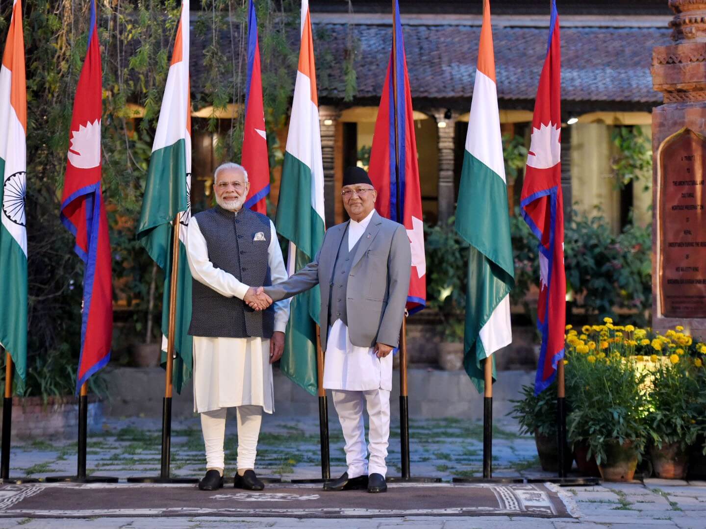
Image Source: PM India
Nepal Cabinet Approves New Map Showing Land Disputed With India as Nepali Territory
May 19, 2020

