
The Chinese government released the “2023 edition of the standard map of China” on Monday, including the Indian state of Arunachal Pradesh and the disputed Aksai Chin region within the Chinese borders.
According to state media, the 2023 map was released during the celebration of Surveying and Mapping Publicity Day and the “National Mapping Awareness Publicity Week” in Deqing County, Zhejiang province.
Overview
The Chinese Ministry of Natural Resources released the map. Similar to previous editions, the map continues to show the nine-dash-line depicting the western borders of China and claiming the disputed South China Sea.
Similarly, the map shows a “tenth dash” to the east of Taiwan, thus underlining Beijing’s claims over the island.
As per the report, after the release of the standard map for public use, the Natural Resources Ministry will now release digital maps and navigating and positioning information data for use in “location-based services, precision agriculture, platform economy and intelligent connected vehicles.”
According to the Global Times, “This map is compiled based on the drawing method of national boundaries of China and various countries in the world.”
China’s Claims on Arunachal and Aksai Chin
The inclusion of Arunachal Pradesh and Aksai Chin might draw ire from India, which considers both regions as its own.
China repeatedly refers to Arunachal Pradesh as “Zangnan” or “South Tibet.” The country claims 90,000 sq km in the eastern sector of the Sino-India boundary, including Arunachal.
Beijing also lays claims to 38,000 sq km in Aksai Chin, which India considers the easternmost part of the Union Territory of Ladakh. 
In April, Beijing announced that it would standardise the names of 11 places in Arunachal, including a town close to Itanagar.
India rejected the attempt and said, “Arunachal Pradesh is, has been, and will always be an integral and inalienable part of India. Attempts to assign invented names will not alter this reality.”
Beijing had opposed India’s holding of several G20 events in Arunachal. The latest announcement comes ahead of the upcoming G20 Summit in New Delhi in September.
Taiwan, South China Sea, and Nine-Dash Line
China has been increasingly belligerent in the South China Sea as it attempts to position itself as a global superpower.
The country uses the U-shaped nine-dash line to suggest its legitimate claim over around 90 per cent of the strategically located South China Sea.
The South China Sea includes the Scarborough Shoal, claimed by the Philippines and China; the Spratly Islands, claimed by Taiwan, Vietnam, the Philippines, China, and Malaysia; and the Paracel Islands, with overlapping claims by China, Vietnam and Taiwan.
China used a tenth-dash to claim Taiwan as a Chinese territory under its “One China principle.”
China’s claims on the South China Sea were rejected in a 2016 ruling of the Arbitration Tribunal. They are also at odds with the UN Convention on the Law of the Sea (UNCLOS), which establishes the legal framework for marine and maritime activities.
This year marks the 30th anniversary of the implementation of the Law of Surveying and Mapping of the People’s Republic of China.
In the past three decades, China has adopted several surveying and mapping laws and regulations, considered crucial to strengthening the management of maps while safeguarding national sovereignty.
The latest maps are a testament to Beijing’s increased emphasis on legitimising its territorial claims.
China Includes Arunachal Pradesh, Aksai Chin in ‘New Standard Map’
Similar to previous editions, the map continues to show the nine-dash-line depicting the western borders of China and claiming the disputed South China Sea. It also shows Taiwan as a part of China.
August 29, 2023
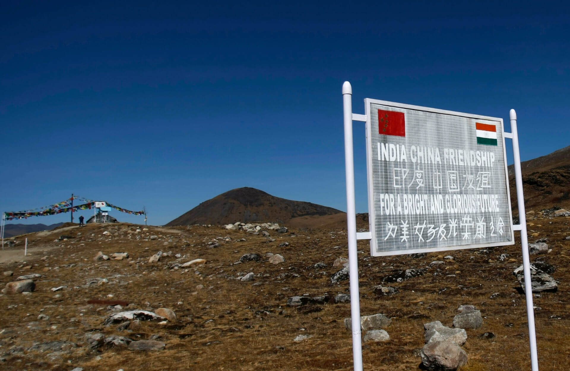
IMAGE SOURCE: REUTERSA signboard is seen from the Indian side of the Indo-China border at Bumla in Arunachal Pradesh.